
Ministry of Forestry issues new forest moratorium indicative map
Friday, November 29 2013 - 03:09 AM WIB
By Romel S. Gurky
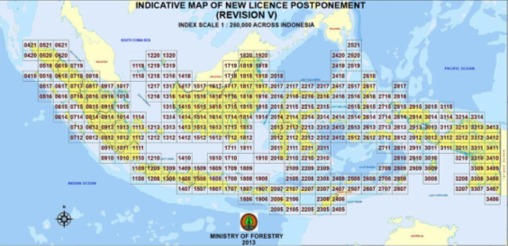
The Ministry of Forestry has issued the fifth revision of the forest moratorium indicative map, covering 64,701,287 hectares of natural forests and peatlands, and expansion of 24,257 ha from the fourth revision, according to ministry statement received Friday.
The ministry issued the first forest moratorium map in 2011, where no forest clearing activities can take place, and which must be used by provincial and regency administrations as guideline in issuing land use permits for economic and business activities in their respective regions.
The indicative map is revised every six months.

Editing by Reiner Simanjuntak